What This Document Is
This resource is a focused exploration of contact relationships and large-scale geological structures as they are represented on geological maps. It delves into the principles used to decipher the order of events in a region’s geological history, focusing on how interactions between different rock types – particularly intrusive bodies and surrounding formations – reveal past processes. The material covers a range of structural features, from the subtle indicators found within sedimentary layers to the dramatic expressions of folding and faulting across landscapes. It’s designed to build a strong foundation for interpreting complex geological settings.
Why This Document Matters
This material is essential for students in structural geology, geophysics, or advanced introductory geology courses. It’s particularly valuable when you’re learning to read and interpret geological maps, a critical skill for field work, resource exploration, and hazard assessment. If you’re struggling to understand how to determine relative ages of rock units based on their spatial relationships, or if you need a refresher on recognizing different types of folds and faults in map view, this will be a helpful resource. It’s also beneficial for anyone preparing to analyze regional geological histories.
Common Limitations or Challenges
This resource focuses on foundational concepts and visual recognition of structures. It does *not* provide detailed quantitative methods for stress/strain analysis, advanced kinematic modeling, or specific regional geological case studies. It also doesn’t include step-by-step instructions for creating geological maps or performing complex cross-sections. The focus is on understanding the *principles* behind interpreting geological structures, not on mastering specific software or field techniques.
What This Document Provides
* An overview of how to determine relative timing of geological events using contact relationships.
* Explanations of key concepts related to unconformities and sedimentary structures as indicators of geological history.
* Visual aids illustrating different types of intrusive bodies (sills, stocks, batholiths) and their impact on surrounding rocks.
* Descriptions of fold geometry, including terminology related to anticlines, synclines, domes, and basins.
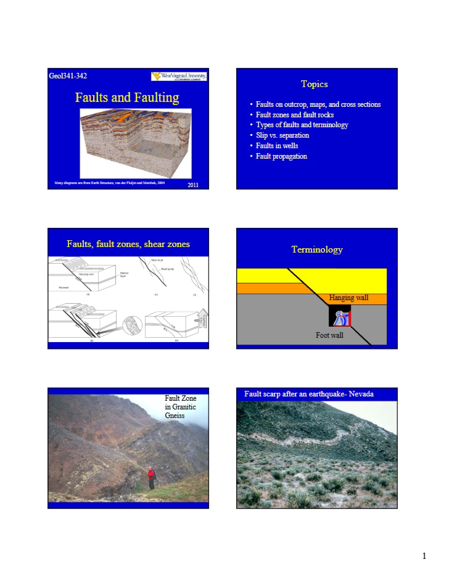
* An introduction to the classification and map recognition of different fault types (normal, thrust, strike-slip).
* Guidance on interpreting the orientation of linear features using trend and plunge analysis.