What This Document Is
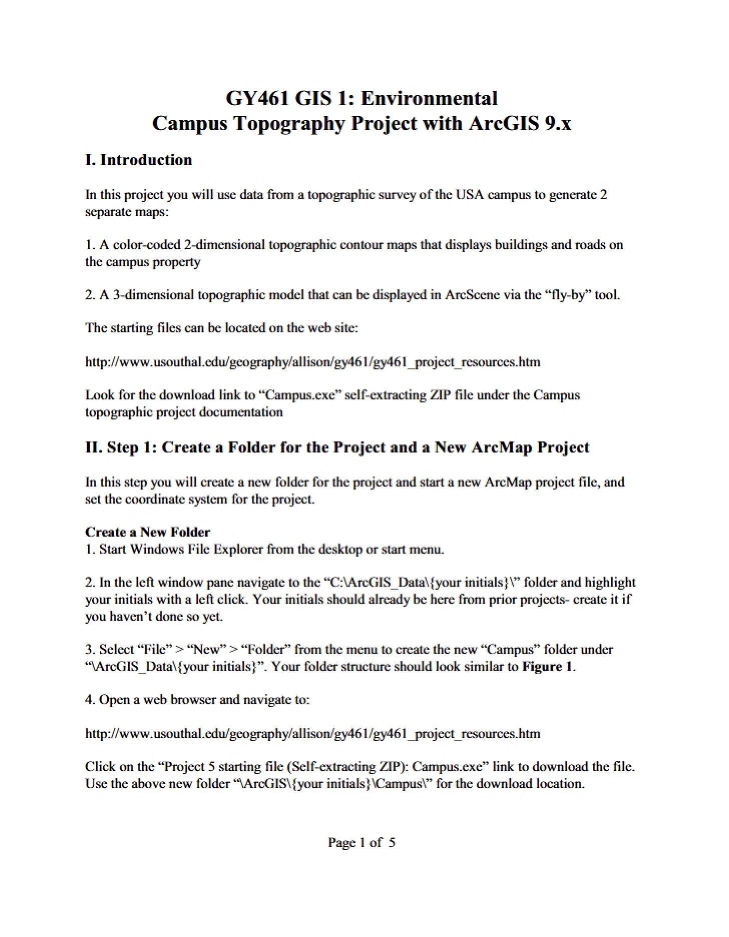
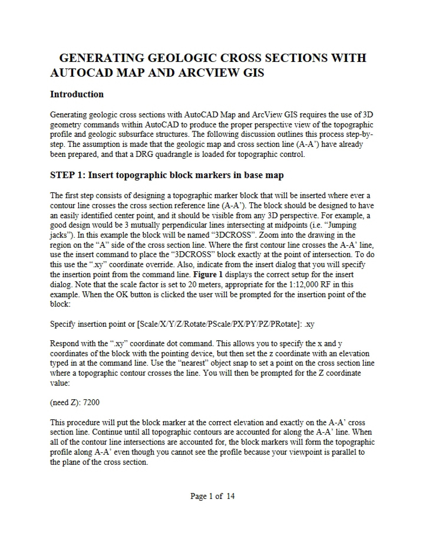
This is a detailed guide focused on the practical application of GIS technology within a geological context. Specifically, it outlines the process of building a digital database from field-collected geological data – station locations and structural measurements – and integrating that data with a GIS for map creation and analysis. It centers around digitizing techniques and relational database principles as they apply to geological mapping. The guide appears to be geared towards a hands-on learning experience, referencing specific software applications.
Why This Document Matters
This resource is ideal for students in geology, GIS, or environmental science programs who need to learn how to manage and visualize spatial geological data. It would be particularly useful during coursework involving field mapping, structural geology, or GIS applications in earth sciences. Professionals involved in geological surveying, resource exploration, or hazard assessment will also find the principles discussed valuable for streamlining their workflows. If you’re looking to move beyond theoretical GIS concepts and apply them to real-world geological datasets, this guide offers a pathway to doing so.
Common Limitations or Challenges
This guide focuses on a specific workflow and relies on proficiency with particular software packages. While the underlying principles are broadly applicable, users employing different software may need to adapt the techniques described. It assumes a foundational understanding of both geological principles and basic GIS concepts. The guide does *not* provide introductory tutorials on geology or GIS software; it builds upon existing knowledge. It also doesn’t cover advanced database management or complex GIS analysis techniques.
What This Document Provides
* A structured approach to converting field data into a digital format.
* Guidance on creating a relational database specifically designed for geological structure data.
* Insights into the process of digitizing geological features and station locations.
* Information on integrating digitized data with GIS software for mapping and analysis.
* Considerations for coordinate system setup and calibration within a GIS environment.
* A framework for building a reusable database of geological information.