What This Document Is
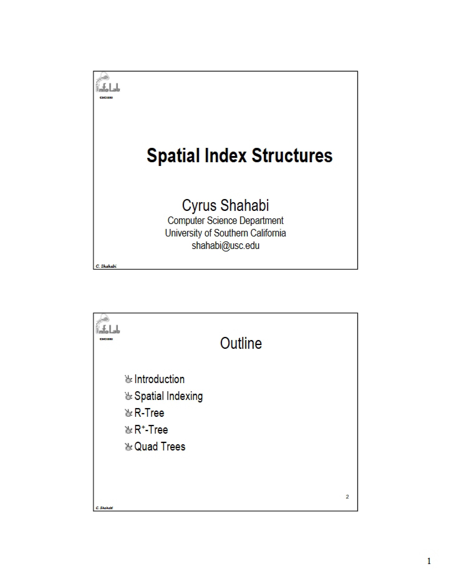
This material represents Session 11 of CSCI 585, a graduate-level Database Systems course at the University of Southern California. It delves into the critical area of spatial indexing – techniques used to efficiently store and retrieve data based on its location or geometric properties. The session focuses on a detailed exploration of spatial index structures, moving beyond traditional database indexing methods to address the unique challenges posed by spatial data types. It examines various approaches to organizing spatial information for faster query processing.
Why This Document Matters
Students enrolled in advanced database courses, particularly those specializing in geographic information systems (GIS), spatial databases, or location-based services, will find this session invaluable. It’s also beneficial for anyone working with applications that heavily rely on spatial data, such as mapping software, urban planning tools, or environmental monitoring systems. Understanding spatial indexing is crucial for building scalable and performant systems that can handle large volumes of spatial information. Reviewing this material before tackling assignments or exams related to spatial databases will significantly improve comprehension.
Common Limitations or Challenges
This session provides a focused exploration of spatial indexing concepts and specific tree-based structures. It does *not* offer a comprehensive overview of all possible spatial indexing techniques, nor does it include practical implementation details or code examples. The material assumes a foundational understanding of database systems and data structures like trees. It also doesn’t cover the complexities of real-world spatial data cleaning, transformation, or visualization.
What This Document Provides
* An introduction to the concept of spatial objects and their unique indexing requirements.
* A discussion of the limitations of traditional indexing methods when applied to spatial data.
* A detailed examination of R-Tree based indexing, including its underlying principles and structure.
* An exploration of variations on the R-Tree concept, designed to improve performance.
* An overview of the processes involved in maintaining and updating spatial index structures.
* A preparatory exercise to reinforce understanding of the concepts presented.