What This Document Is
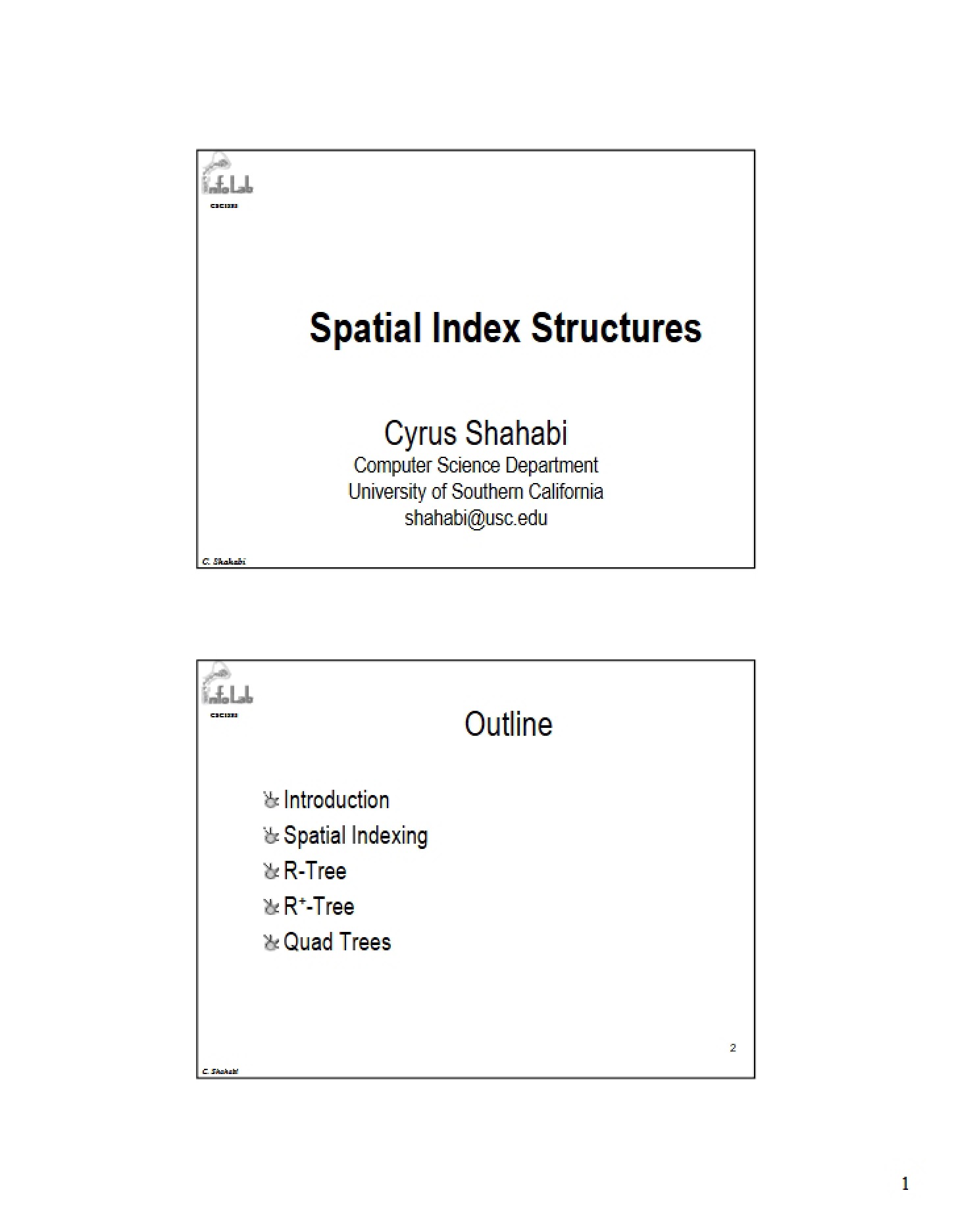
This document represents Session 15 of CSCI 585: Database Systems at the University of Southern California. It delves into the critical area of spatial data management, specifically focusing on index structures designed to efficiently handle geometric objects and spatial queries. The core of this session explores techniques for organizing and accessing spatial data on disk, moving beyond traditional database indexing methods. It builds upon foundational database concepts and applies them to the unique challenges presented by multi-dimensional data.
Why This Document Matters
Students enrolled in advanced database systems courses, or those specializing in geographic information systems (GIS), data mining with spatial components, or location-based services will find this session particularly valuable. It’s beneficial to review this material when you’re tackling problems involving range searches, nearest neighbor queries, or any application requiring rapid retrieval of spatial data. Understanding these concepts is crucial for designing and implementing efficient spatial databases and applications. This session will help you prepare for more complex topics in spatial data analysis and query optimization.
Common Limitations or Challenges
This session concentrates on the theoretical foundations and structural aspects of spatial indexing. It does *not* provide a comprehensive implementation guide or code examples. While it discusses various approaches, it doesn’t offer a comparative performance analysis of each method across different datasets or workloads. Furthermore, it assumes a solid understanding of fundamental database concepts like B-trees and indexing principles. It also doesn’t cover advanced topics like spatial data warehousing or specific spatial database systems in detail.
What This Document Provides
* An overview of the challenges associated with indexing spatial data.
* A detailed exploration of a prominent spatial indexing technique and its core principles.
* Discussion of the structural components of a key spatial index, including node formats and balancing considerations.
* An introduction to different variants and optimization strategies related to the core indexing method.
* An examination of the processes involved in splitting nodes during index construction and maintenance.