What This Document Is
This document is a detailed course outline for a graduate-level program in Spatial Epidemiology, delivered as a three-day Erasmus Summer Programme. It’s designed to provide a comprehensive overview of the methods and techniques used to analyze health-related data with a spatial component. The course, led by experts from the University of Minnesota and Duke University, focuses on applying statistical and computational approaches to understand disease patterns and public health challenges tied to geographic location. It bridges the gap between epidemiological principles and advanced biostatistical modeling.
Why This Document Matters
This outline is invaluable for students and professionals in public health, biostatistics, epidemiology, and related fields who want to gain a strong foundation in spatial data analysis. It’s particularly useful for those planning to conduct research involving geographically referenced health data, evaluate spatial patterns of disease, or develop targeted public health interventions. Individuals preparing for advanced coursework or seeking to enhance their analytical skillset will find this a helpful guide to the core topics covered. Understanding the course structure beforehand allows for focused learning and efficient knowledge acquisition.
Common Limitations or Challenges
This document presents a high-level overview of the course content. It does *not* include the detailed mathematical derivations, specific code implementations, or in-depth case studies that are part of the full course materials. It also doesn’t provide access to the computational exercises or the complete textbook content. This outline serves as a roadmap, but doesn’t substitute for active participation in the course and access to the full learning resources.
What This Document Provides
* A day-by-day breakdown of the course schedule.
* An overview of key topics including spatial data types and projections.
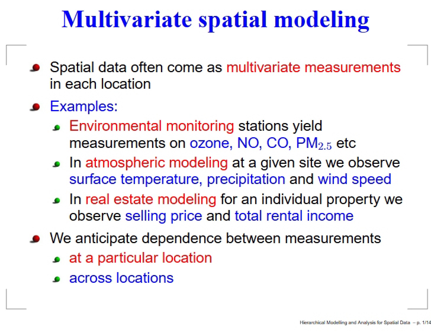
* Identification of core modeling approaches for point-referenced and areal data.
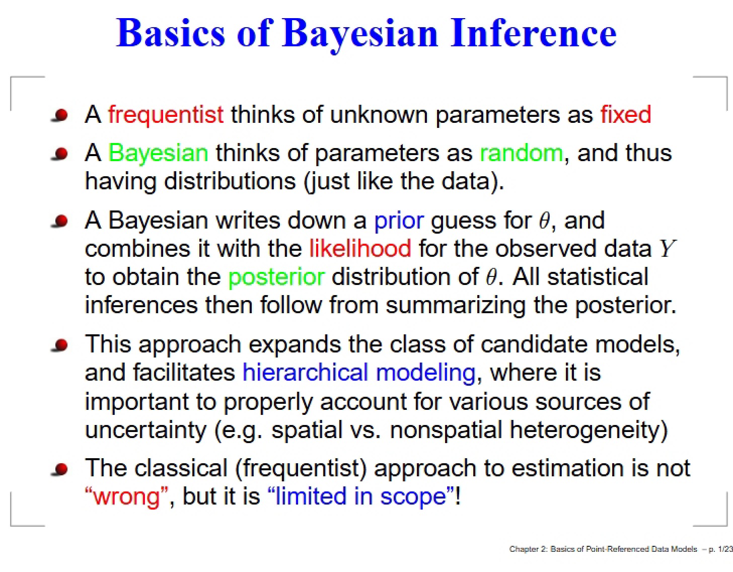
* Insight into Bayesian inference techniques applied to spatial data.
* Coverage of advanced topics like spatial misalignment and spatiotemporal modeling.
* A list of recommended textbooks and supplementary reading materials.
* Indication of computer lab sessions integrated into the course.