What This Document Is
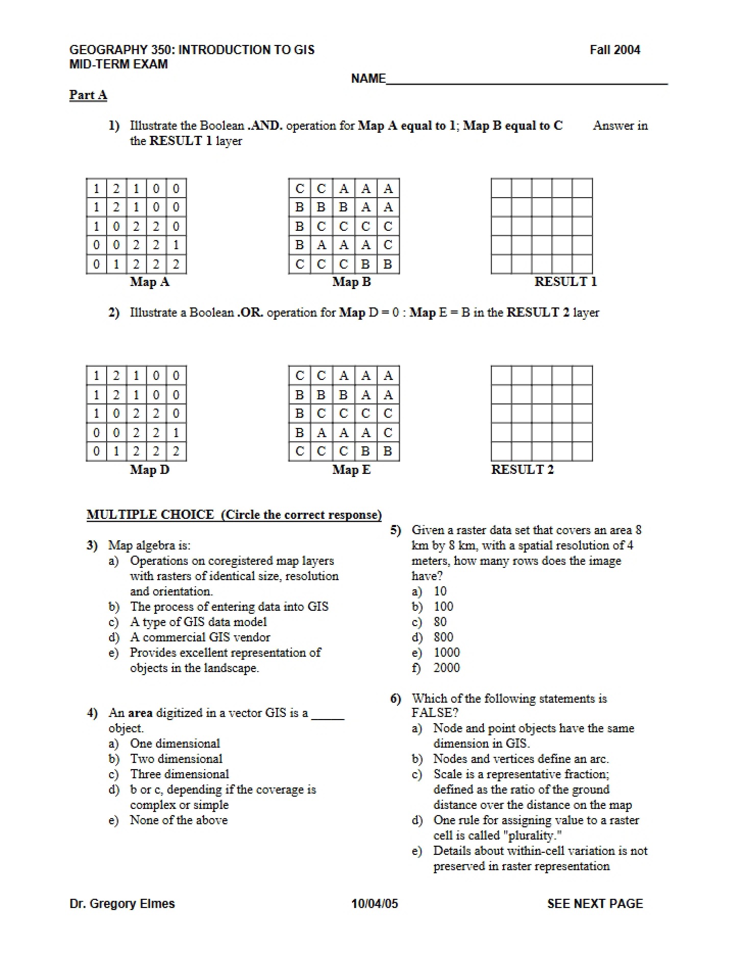
This is a final examination for GEOG 350: Geographic Information Systems-Science, offered at West Virginia University during the Fall 2004 semester. It’s a comprehensive assessment designed to evaluate a student’s understanding of core GIS principles and their application. Please note this exam was created using a textbook edition different from current course materials. The format is primarily multiple-choice and fill-in-the-blank, testing recall and conceptual understanding of key terms and foundational knowledge within the field.
Why This Document Matters
This resource is invaluable for students currently enrolled in or preparing for a GIS course, particularly those anticipating a final exam. It’s also beneficial for individuals seeking to refresh their knowledge of fundamental GIS concepts. Studying past exams – even without solutions – can help you identify areas where your understanding might be weaker and focus your study efforts accordingly. Understanding the *types* of questions asked can be as helpful as knowing the answers themselves. This is especially useful for self-assessment and gauging the scope of material covered in a typical introductory GIS curriculum.
Common Limitations or Challenges
This document presents the exam questions themselves, but does *not* include an answer key or detailed explanations. It reflects the curriculum and textbook edition used in Fall 2004, so some concepts or terminology may be presented differently in more recent course iterations. It’s crucial to remember that this is a historical exam and should be used as a supplementary study tool, not a definitive guide to current exam content. It does not provide new instruction or detailed explanations of GIS concepts.
What This Document Provides
* A range of questions covering fundamental GIS concepts.
* Exposure to the types of assessment used in a university-level GIS course.
* Topics including raster and vector data structures.
* Questions relating to spatial data, databases, and data formats.
* Inquiries regarding remote sensing and data sources (like TIGER data).
* Concepts related to data models and GIS history.
* Questions about the definition and components of a GIS.