What This Document Is
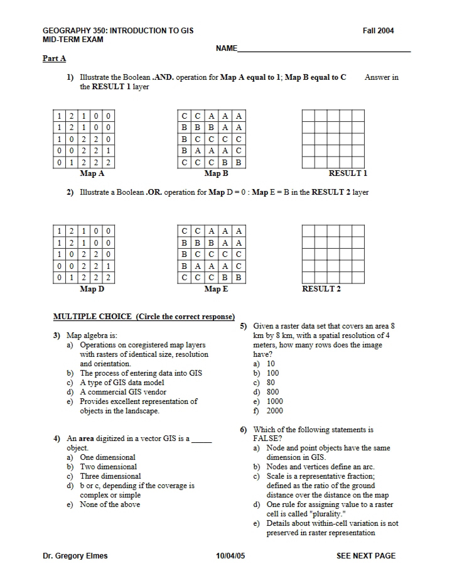
This document is a final examination for GEOG 350/550 – Geographic Information Systems-Science, offered at West Virginia University. It’s designed to comprehensively assess a student’s understanding of core GIS principles and concepts covered throughout the semester. The exam format consists of multiple-choice questions, testing foundational knowledge across a range of GIS topics.
Why This Document Matters
This resource is invaluable for students currently enrolled in an introductory or intermediate GIS course, or those preparing for similar examinations. It’s particularly useful for self-assessment, identifying knowledge gaps, and reinforcing key concepts before a high-stakes evaluation. Students who utilize this exam as a study tool can gain insight into the types of questions and the level of detail expected on a university-level GIS assessment. It’s best used *after* completing coursework and engaging with assigned readings and labs.
Common Limitations or Challenges
This examination represents a specific instructor’s assessment and may not perfectly align with the content or emphasis of all GIS courses. It does not include explanations of correct answers or detailed solutions; it is purely an assessment tool. Furthermore, it focuses on theoretical understanding and may not fully cover practical GIS software skills or project-based applications. Access to the full document is required to view the questions and evaluate your understanding.
What This Document Provides
* A broad range of questions covering fundamental GIS concepts.
* Assessment of knowledge related to data models (raster and vector).
* Evaluation of understanding regarding database management systems (DBMS) in a GIS context.
* Questions pertaining to map generalization and spatial analysis techniques.
* Coverage of topological data structures and their components.
* Insight into the importance of metadata and map projections.
* Questions related to relational database concepts and normal forms.