What This Document Is
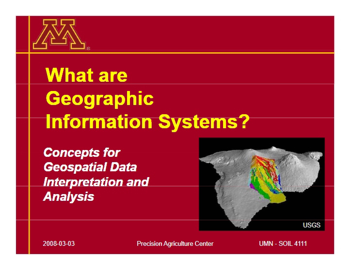
This resource is a focused exploration of Geographic Information Systems (GIS) and their crucial role within the rapidly evolving field of Precision Agriculture. It delves into the foundational principles of GIS – examining its components, historical development, and core functionalities – before specifically applying these concepts to agricultural practices. The material aims to build a strong understanding of how spatial data analysis can be leveraged to improve efficiency, sustainability, and decision-making in modern farming.
Why This Document Matters
This material is ideal for students enrolled in courses related to agriculture, soil science, environmental science, and geographic information systems. It’s particularly valuable for anyone seeking to understand the technological underpinnings of Precision Agriculture and how data-driven approaches are transforming the industry. Professionals looking to integrate GIS into their agricultural workflows will also find this a useful starting point for grasping the core concepts and potential applications. It’s best utilized as a foundational learning tool, providing context before diving into hands-on GIS applications.
Common Limitations or Challenges
This resource focuses on the *concepts* and *applications* of GIS in agriculture. It does not provide step-by-step instructions for using specific GIS software packages, nor does it offer detailed coding examples or pre-built models. It also doesn’t cover the specifics of GPS or remote sensing technologies in exhaustive detail, though it acknowledges their importance. Access to this material will not, on its own, qualify you to perform advanced GIS analysis or implement a full Precision Agriculture system.
What This Document Provides
* An overview of the core components and history of Geographic Information Systems.
* A discussion of the increasing importance of GIS in addressing challenges related to population growth and resource management.
* An exploration of how GIS facilitates the organization, analysis, and visualization of spatial data.
* An examination of the role of GIS in understanding spatial variability within agricultural landscapes.
* An introduction to the types of maps and data layers used in Precision Agriculture applications.
* A framework for understanding how GIS contributes to informed decision-making in agricultural management.