What This Document Is
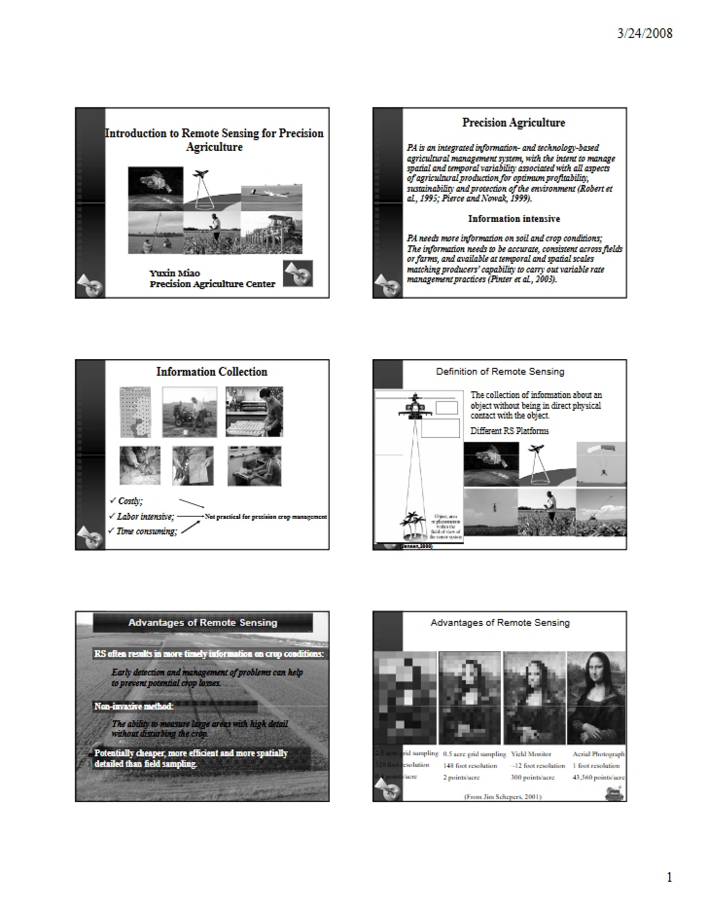
This resource is an introductory exploration of remote sensing techniques as applied to the field of precision agriculture. It delves into how data gathered from a distance – without physical contact – can be leveraged to improve agricultural practices. The material focuses on the principles behind remote sensing and its growing importance in modern farming, bridging the gap between data acquisition and informed decision-making in crop and soil management. It’s designed to provide a foundational understanding of the technologies and concepts involved.
Why This Document Matters
Students enrolled in precision agriculture courses, or those with an interest in agricultural technology, will find this material particularly valuable. It’s ideal for anyone seeking to understand how data-driven approaches are revolutionizing farming. Professionals looking to integrate remote sensing into their existing practices, or those evaluating its potential benefits, will also benefit from this overview. This resource is best utilized early in a precision agriculture curriculum, or as a primer before diving into more specialized remote sensing applications.
Common Limitations or Challenges
This material provides a conceptual introduction and does *not* offer hands-on training in operating specific remote sensing equipment or software. It does not include detailed data processing workflows, specific sensor calibrations, or in-depth mathematical models. While applications are discussed, the resource does not provide step-by-step guides for implementing these techniques in the field. It’s a starting point for understanding the ‘why’ and ‘what’ of remote sensing, not the ‘how’.
What This Document Provides
* An overview of the core principles of remote sensing.
* Discussion of the advantages of utilizing remote sensing in agricultural settings.
* Exploration of various applications within precision agriculture, including soil characterization and management zone delineation.
* Illustrative examples of how remote sensing data can be used for crop stress detection and guided scouting.
* An introduction to the use of remote sensing for precision nitrogen management.
* Consideration of different platforms and technologies used in remote sensing data collection.