What This Document Is
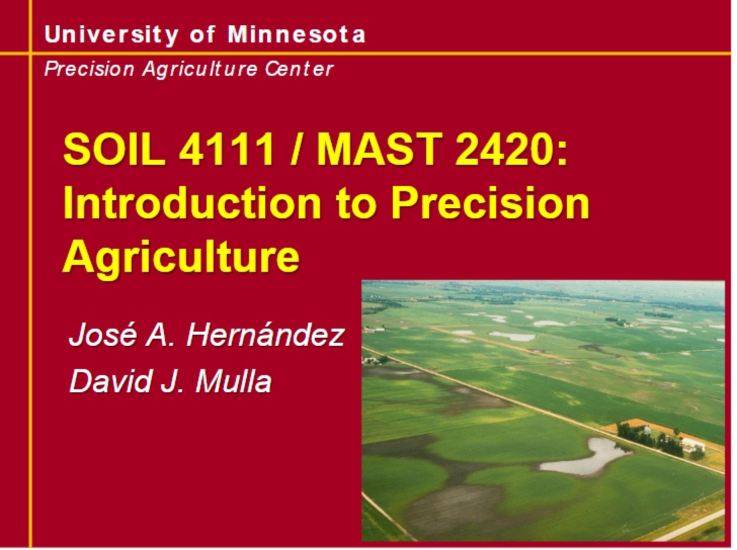
This is a focused exploration of spatial variability within the field of precision agriculture, stemming from a course at the University of Minnesota Twin Cities. It delves into the inherent differences in soil properties and other agricultural characteristics as you move across a landscape. The material examines how these variations impact agricultural practices and the methods used to understand and quantify them. It builds a foundation for utilizing data to make informed decisions about resource management and crop production.
Why This Document Matters
Students in soil science, agronomy, and precision agriculture will find this resource particularly valuable. It’s ideal for those seeking a deeper understanding of the statistical underpinnings of spatial analysis in agricultural settings. Professionals involved in field scouting, data analysis, or variable rate application will also benefit from the concepts presented. This material is most useful when you’re beginning to explore how to interpret patterns in field data and how to account for natural variation when optimizing agricultural inputs.
Common Limitations or Challenges
This resource focuses on the theoretical and conceptual framework of spatial variability. It does *not* provide step-by-step instructions for using specific software packages or conducting field sampling. It also doesn’t cover the practical implementation of precision agriculture technologies, such as GPS-guided machinery or sensor systems. The document assumes a basic understanding of statistical principles.
What This Document Provides
* An overview of different scales of soil variability, from variations within soil horizons to those across entire landscapes.
* An introduction to the principles of geostatistics as a tool for analyzing spatially correlated data.
* A detailed examination of the semivariogram, a key component in spatial modeling.
* Discussion of the parameters used to characterize semivariogram shapes and their implications.
* A comparative look at the typical ranges of variability observed for different soil properties and crop characteristics.
* Considerations regarding data binning and its impact on spatial analysis.