What This Document Is
This resource is a set of instructional materials focused on applying Geographic Information Systems (GIS) techniques to the analysis of watersheds. Specifically, it explores how GIS can be utilized in natural science applications related to water resource management and environmental assessment. The material appears to be derived from a university-level course (RESM 493q at West Virginia University) and centers on understanding spatial relationships within watershed systems. It delves into the practical application of GIS for addressing regional environmental concerns.
Why This Document Matters
Students and professionals in fields like environmental science, natural resource management, hydrology, and geography will find this particularly useful. It’s ideal for anyone needing to understand how to spatially analyze water resources, assess environmental stressors impacting watersheds, or utilize GIS for informed decision-making in water management. This would be beneficial when tackling projects involving water quality assessment, land use impacts on streams, or broader regional environmental planning. It’s designed to build a foundational understanding of the role GIS plays in modern watershed studies.
Common Limitations or Challenges
This material focuses on the *application* of GIS principles to watershed analysis, and does not provide a comprehensive introduction to GIS software itself. It assumes a basic familiarity with GIS concepts and terminology. While it identifies various stressors impacting watersheds, it does not offer detailed remediation strategies or policy recommendations. The resource focuses on the analytical framework and does not include hands-on data sets or step-by-step tutorials for specific GIS software packages.
What This Document Provides
* An overview of the importance of watershed analysis as a spatial issue.
* Discussion of key regional stressors impacting water resources, such as sedimentation, habitat loss, and acid mine drainage.
* Exploration of watershed-based frameworks and their legislative foundations (including the Clean Water Act).
* An examination of different watershed cataloging units (USGS regions, sub-regions, and sub-basins) and their relevance to analysis.
* Consideration of how watersheds can be used to assess stream health and designated uses.
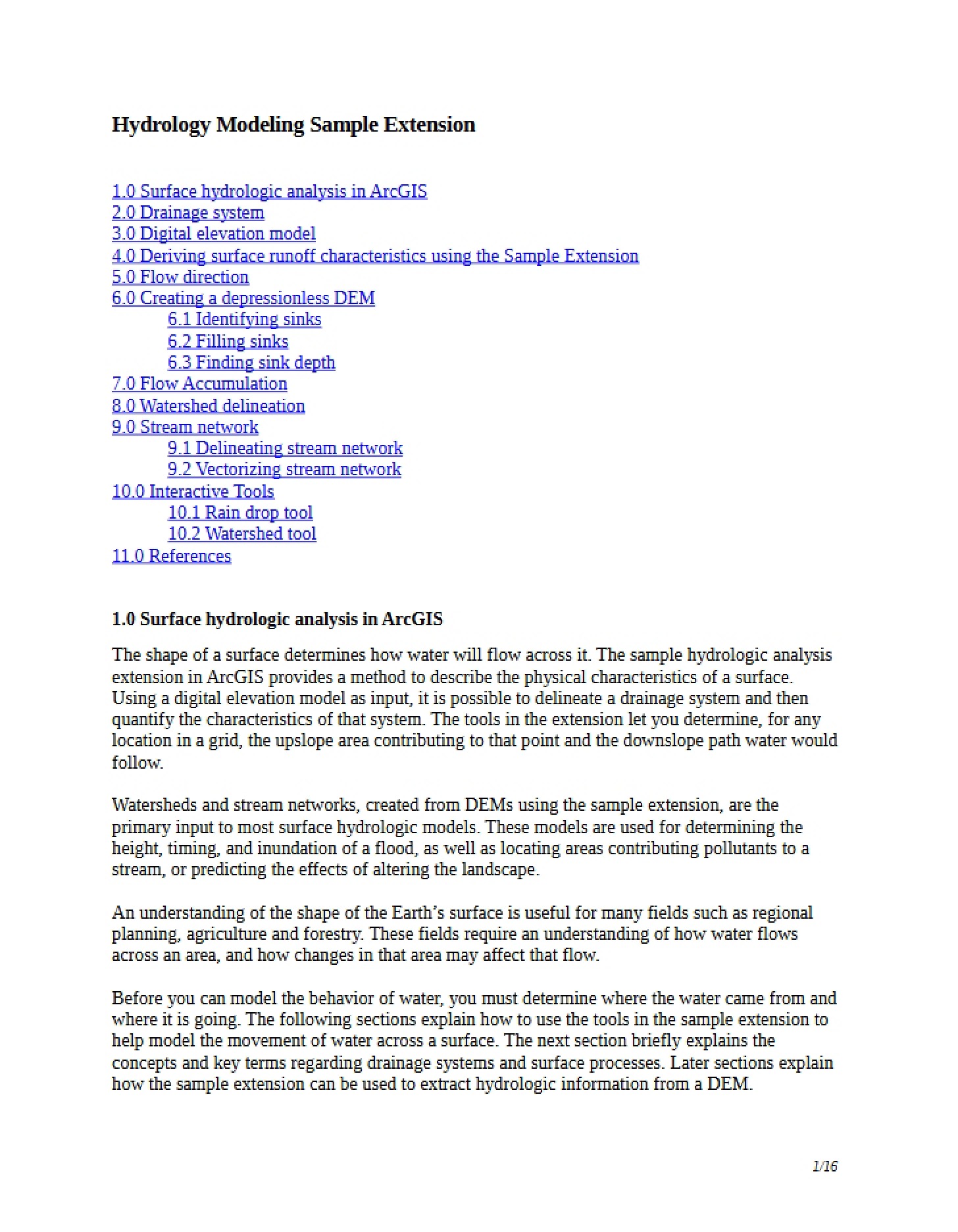
* An overview of how GIS can be used to delineate watersheds, track flow, and calculate drainage areas.