What This Document Is
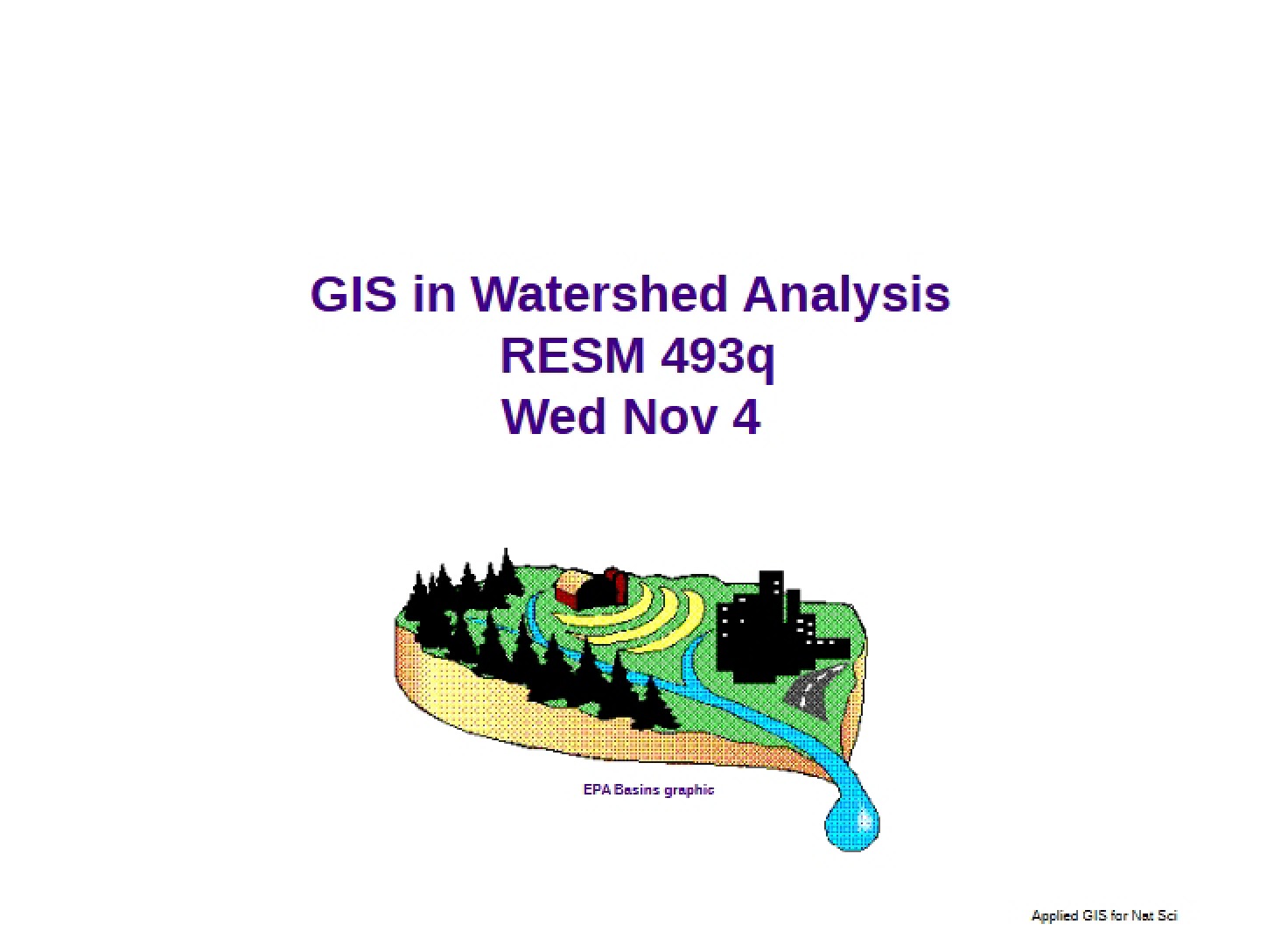
This resource is a focused guide exploring the application of hydrologic modeling techniques within a Geographic Information System (GIS) environment. Specifically, it centers around utilizing tools to analyze and understand surface water flow, drainage systems, and watershed characteristics. It delves into the foundational concepts necessary for interpreting and applying these models, using a Digital Elevation Model (DEM) as the primary data source.
Why This Document Matters
This guide is invaluable for students and professionals in fields like environmental science, civil engineering, geography, and natural resource management. Anyone needing to assess water flow patterns, delineate watersheds, or understand the impact of terrain on hydrological processes will find this helpful. It’s particularly useful when undertaking projects involving flood risk assessment, pollution source tracking, or land use planning where understanding water dynamics is crucial. It serves as a strong foundation for more advanced hydrological modeling work.
Common Limitations or Challenges
This resource focuses on the *principles* and *application* of specific tools within a GIS context. It does not provide a comprehensive overview of all hydrological modeling approaches, nor does it cover the complexities of groundwater flow or detailed water quality analysis. It assumes a basic familiarity with GIS software and concepts. Furthermore, it concentrates on the analytical process and doesn’t include real-world case studies or detailed implementation instructions for specific software packages beyond the scope of the extension discussed.
What This Document Provides
* An overview of surface hydrologic analysis techniques.
* Explanation of key concepts related to drainage systems, watersheds, and flow accumulation.
* Discussion of how to derive essential data layers from Digital Elevation Models (DEMs).
* Exploration of methods for delineating stream networks and identifying watershed boundaries.
* Insights into interactive tools for visualizing and analyzing hydrological data.
* A glossary of important terminology related to surface hydrology.