What This Document Is
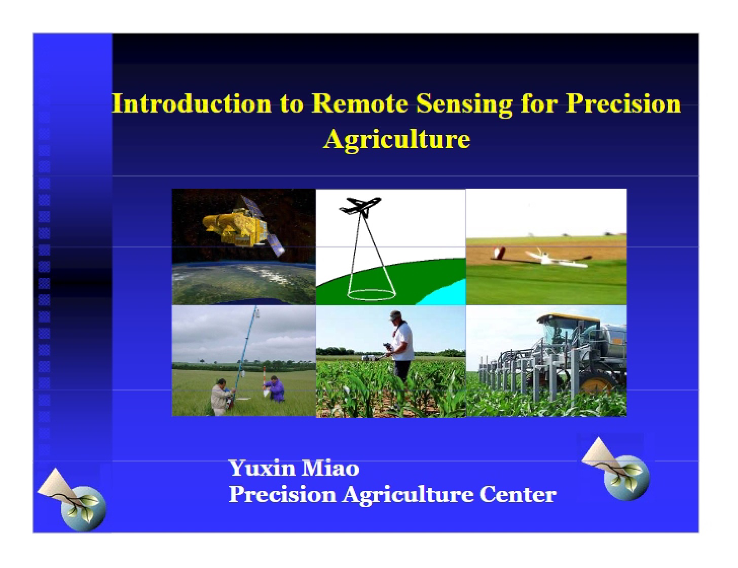
This resource is a focused exploration of remote sensing techniques as they apply to the field of precision agriculture. It delves into the principles behind gathering information about crops and soil *without* physical contact, examining the advantages and practical applications of this technology. The material is geared towards students and professionals seeking a foundational understanding of how remotely sensed data contributes to more efficient and informed agricultural practices. It appears to be based on lecture or course materials from the University of Minnesota Twin Cities (SOIL 4111).
Why This Document Matters
Anyone involved in modern agricultural management, particularly those interested in precision techniques, will find this a valuable resource. It’s especially relevant for students studying agronomy, soil science, or agricultural technology. Professionals looking to integrate remote sensing into their farm management strategies, or those evaluating the potential of this technology, will also benefit. This material is most useful when you’re beginning to explore how data collection methods beyond traditional field sampling can improve decision-making in areas like fertilizer application, crop health monitoring, and yield prediction.
Common Limitations or Challenges
This resource focuses on the *concepts* and *applications* of remote sensing. It does not provide detailed instructions on operating specific remote sensing equipment or processing the raw data collected. It also doesn’t offer a comprehensive guide to all available remote sensing platforms or software packages. The document assumes a basic understanding of agricultural principles and doesn’t delve deeply into the underlying physics of electromagnetic radiation. It’s a starting point for understanding the “what” and “why” of remote sensing, not the “how.”
What This Document Provides
* An overview of the core definition and benefits of remote sensing in an agricultural context.
* Discussion of how remote sensing addresses the need for detailed and timely information in precision agriculture.
* Exploration of various applications of remote sensing, including soil variability characterization and management zone delineation.
* Insights into using remote sensing for crop stress detection and targeted interventions.
* Examination of the role of remote sensing in optimizing nitrogen management strategies.
* Consideration of the future importance of remote sensing technologies in the evolving landscape of precision agriculture.