What This Document Is
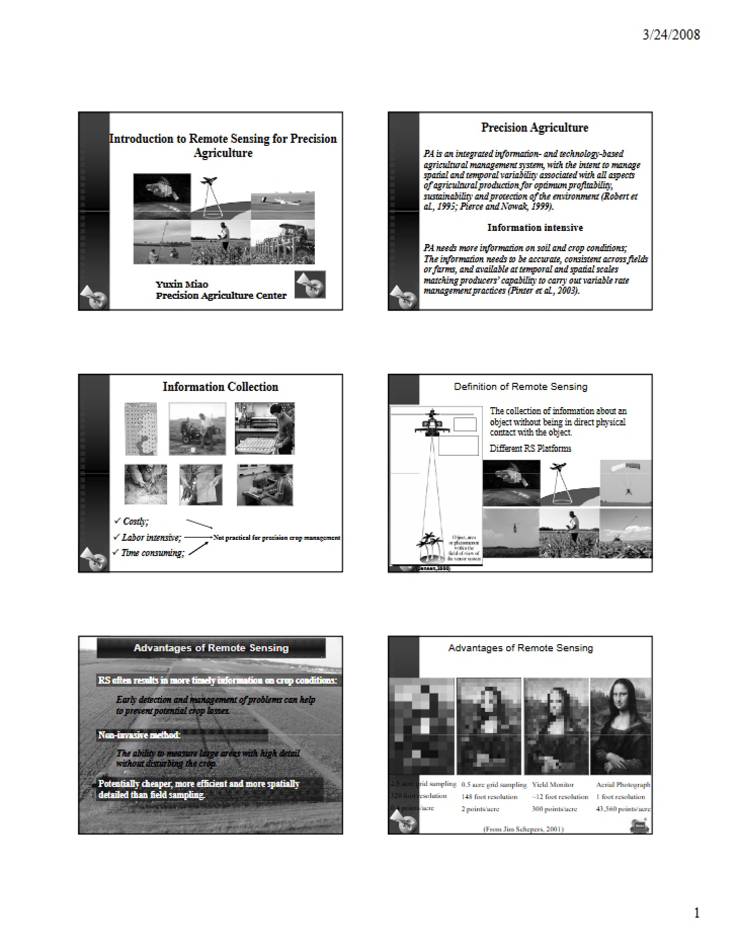
This resource is a focused exploration of precision crop management techniques, with a strong emphasis on the application of remote sensing technologies in modern agriculture. It delves into how data gathered from various platforms – both aerial and satellite-based – can be leveraged to improve farming practices. The material bridges fundamental remote sensing concepts with their practical use in addressing real-world agricultural challenges. It’s designed for students and professionals seeking a deeper understanding of how technology is reshaping the field.
Why This Document Matters
This material is particularly valuable for students in agricultural science, agronomy, and related disciplines. It’s also beneficial for agricultural professionals – such as crop consultants, farm managers, and precision agriculture specialists – who are looking to enhance their knowledge of remote sensing applications. This resource is most useful when you’re seeking to understand the theoretical underpinnings of precision agriculture and how remotely sensed data can inform decision-making related to crop health, yield estimation, and overall farm management.
Common Limitations or Challenges
This resource focuses on the *principles* and *applications* of remote sensing in crop management. It does not provide detailed, step-by-step instructions for operating specific remote sensing equipment or software packages. It also doesn’t include exhaustive case studies or localized data analysis examples. The content is foundational and requires further practical application and specialized training to fully implement the concepts discussed.
What This Document Provides
* An overview of core remote sensing concepts and terminology.
* An exploration of the electromagnetic spectrum and its relevance to agricultural monitoring.
* Discussion of different remote sensing platforms (aerial vs. satellite).
* Examination of key factors influencing the quality and interpretation of remotely sensed data (resolution, spectral domains).
* An introduction to how remote sensing data can be used to assess crop conditions and predict outcomes.
* Consideration of the challenges and opportunities in utilizing remote sensing for precision agriculture.