What This Document Is
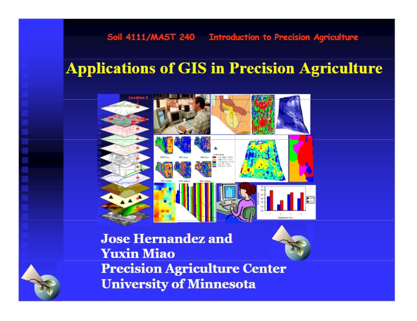
This resource is a focused exploration of Geographic Information Systems (GIS) as they relate to the field of precision agriculture. It delves into the foundational principles behind GIS technology, examining how spatial data is captured, stored, and analyzed. The material provides a technical overview of the core components that make up a GIS, and how these components interact to deliver meaningful insights from geographically referenced information. It’s designed for students seeking a deeper understanding of the technologies underpinning modern agricultural practices.
Why This Document Matters
Students enrolled in courses like Introduction to Precision Agriculture, or related fields such as soil science, agronomy, and environmental science, will find this particularly valuable. It’s ideal for those looking to build a strong theoretical base before applying GIS techniques to real-world agricultural challenges. Professionals seeking to integrate spatial analysis into their workflows, or those needing a refresher on GIS fundamentals, will also benefit. Understanding these systems is crucial for informed decision-making in areas like crop management, resource allocation, and environmental monitoring.
Common Limitations or Challenges
This material focuses on the *concepts* and *components* of GIS. It does not provide step-by-step instructions for using specific GIS software packages. While it touches upon data formats, it doesn’t include detailed tutorials on data creation or editing. Furthermore, it provides a foundational understanding but does not cover advanced analytical techniques or specialized applications within precision agriculture in depth. Practical application and software proficiency require separate training and experience.
What This Document Provides
* An overview of the core definition and function of a Geographic Information System.
* A breakdown of the essential components of a GIS – including hardware, software, and data.
* An examination of different methods for storing geographical data.
* A comparison of raster and vector data formats, outlining their strengths and weaknesses.
* An introduction to coordinate systems and georeferencing principles.
* Discussion of the importance of map projections and scale in spatial analysis.